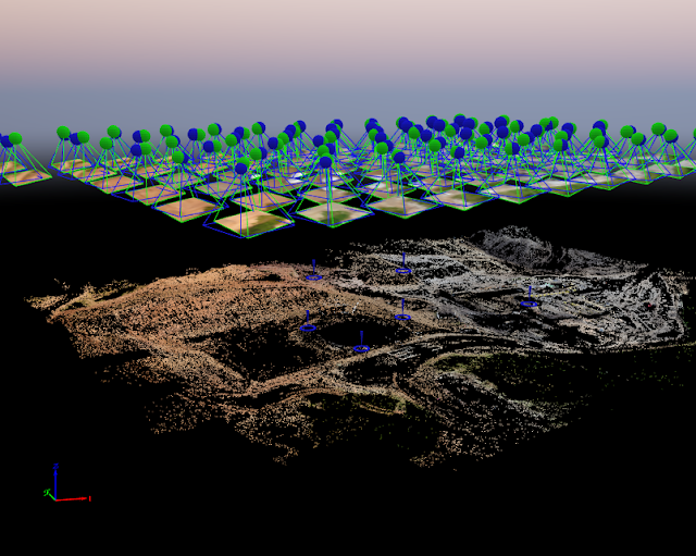
Lab 6-Processing Image data in Pix4D - with GCPs

Part 1 (Introduction): This lab will demonstrate the usefulness of Ground Control Points, or GCPs. When comparing this lab to the previous one it is obvious how the inclusion of these points greatly increases the accuracy of the map becuase it allows for more accurate orthorectification and alings the data on the plane better. These points are placed on the ground prior to the flight with known coordinates. The coordinates are then fed to the software in order for it to make the nessecary adjustments in order to account for any innacuracises that were created due to flight charactersitics or innacurate data collection. Part 2 (Methods): The start of this lab was similar to the previous one, the initial processing of the map was done without the use of GCPs and then these points were added into the program in order to make the necessary adjustments. In order for the program to be able to adjust the map, the user must go through the various GCPs and select their exact cen...
